Professional Land Surveying
For land surveying needs, utilize the form to get in touch with professionals.
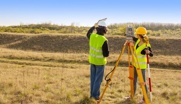
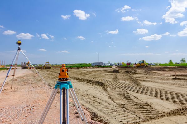
Land surveying is a crucial service that involves the precise measurement and mapping of land. This process helps determine property boundaries, land features, and topographical details, which are essential for planning, development, and legal purposes. Utilizing advanced technology and techniques, professional land surveyors provide accurate data that supports construction projects, property transactions, and land development.
- Topographic Surveying
- Boundary Surveying
- Construction Staking
- ALTA/NSPS Land Title Surveys
- Subdivision Planning and Design
- Geodetic Surveying
- Hydrographic Surveying
- GIS Mapping Services
- Easement and Right-of-Way Surveys
Please complete the contact form to request service.