Get Land Surveying
For land surveying services, simply fill out the form to get in touch with professionals.
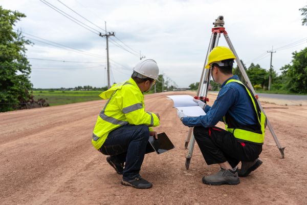
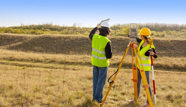
Land surveying is a crucial service that involves the precise measurement and mapping of the environment, typically for the purpose of establishing land boundaries, construction planning, and legal documentation. This technical process employs a combination of advanced technology and traditional techniques to provide accurate data regarding the dimensions, contours, and features of a specific land area. Professionals in this field play an essential role in ensuring that land development projects are executed correctly and in compliance with legal regulations.
- Topographic Surveys
- Boundary Surveys
- Construction Staking
- ALTA/NSPS Land Title Surveys
- Subdivision Planning and Design
- Floodplain Mapping
- Geodetic Surveys
- Environmental Surveys
Please complete the contact form to request service.